Last week we looked at some ways to risk your life on the Defence training estate. When we catch people ignoring the rules, they use a variety of excuses for their actions. Here's a countdown of some of the more ridiculous we’ve come across (number one is a classic):
6. Coming in at number six, “I didn’t see the signs.”
![One of the many warning signs all over the defence training estate. [Crown Copyright, MOD]](https://insideDIO.blog.gov.uk/wp-content/uploads/sites/29/2018/04/MG_7524.jpg)
5. At number five, “I’ve been coming here for over 20 years. I've never had a problem.”
You’ve been lucky then. But it’s not an excuse to ignore signs, flags and byelaws and put yourself and others at risk. Sometimes a site which hasn’t been used for a while will suddenly be in use. Training patterns can change. Just because it’s been that way for a period of time doesn’t mean things can’t change. Don’t put yourself or others at risk.
4. Not trying hard enough, in fourth place, “My mate’s in the military, he said it was OK.”
You’ve been wrongly advised. It’s not OK!
![A runner is surprised by the sudden appearance of a Foxhound armoured vehicle. [Crown Copyright, MOD]](https://media.giphy.com/media/yvX1xGw6V5WQSV2x7E/giphy-downsized-large.gif)
Military personnel and their dependants are members of the public when off-duty so need to follow all the rules and be alert to the dangers too – no one is exempt from following the rules.
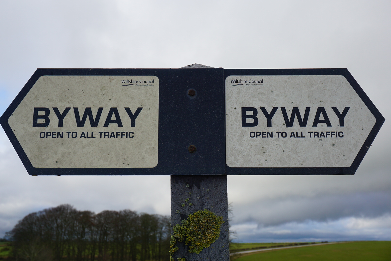
2. Just missing the top spot: having driven around a barrier with a sign saying Danger. Keep out: “The Greenlaning app says this is a public right of way”
Not for the first time, the internet is wrong. Many Rights of Way on MOD land are permissive, which means we have the right to close them when we need to. Once you’re on the training estate you must adhere to the signs that you see. The physical signs prevail. No app invalidates what you see on the ground.
Flags generally do point in the direction that the wind is blowing. However, whenever they’re flying it means no entry!
![Red flags and red lights warn of danger - do not enter. [Crown Copyright, MOD]](https://media.giphy.com/media/2w5LTvFhT4aR6ER4jl/giphy.gif)
33 comments
Comment by Al posted on
This is very good advice but how do the public stay safe when your troupes, vehicles and tanks are training outside the danger area on farm land and footpaths that have no warning signs or red flags.
I was led to believe that during exercises of combined troupes on foot and tanks that the tank commander is required to walk in front to ensure safety, as demonstrated every time tanks enter the barracks camp. Are these rules followed on the farm land training areas where civilians are required to go to avoid the danger area?
I can tell you they are not having watched tanks drive down the footpath outside the danger area last week with no commander on foot and today watched foot soldiers do an orienteering route into the danger area through a tank excercise in action, so if safety is important please ensure your troupes are following correct health and safety guidance too.
Comment by DIO Communications Team posted on
Thanks for your question. To clarify, personnel do not train on farm land, they train on military land and in some cases farmers farm on military land. This may be what you have seen. Military training takes priority over any activity both inside and outside the red flagged area. There are sufficient signs on the outside of the training area, but the public can only enter for recreational purposes when there is no training taking place.
In relation to tanks, they are only guided by someone on foot in camps – there is no requirement for this on the training area. Civilians are not required to go anywhere to avoid the danger area, they are not allowed inside the danger area and there is no alternative provided: if training is taking place they should not be in the vicinity. There is no requirement for civilians to go anywhere specific to avoid the danger area, it is simply that they should not be in the danger area or anywhere which is restricted by red flags, red lights or byelaws.
Regarding health and safety guidance, there are sufficient rules and regulations in place by means of standing orders, briefings and presentations to ensure that when soldiers are training the risk of any danger to the public is as low as reasonably practicable. It is also important to remember that the public should not put themselves at risk by interfering with or being in close proximity to training.
Comment by Jensen Farr posted on
I have recently been stopped by military police for driving my Landrover through a wooded area within the plains. I observed the flags in place and public access was clearly visible. At no time did I observe any signage stating drivers must stay on byways and can not follow tracks off the byways.
Please MoD, make this more clear to unsuspecting members of the public. You need to do better in your signage.
Comment by DIO Communications Team posted on
Hi Jensen, if you're referring to Salisbury Plain Training Area, it is against the byelaws to enter the woodblocks. This should be noted on the byelaws signs and is also available online here: https://assets.publishing.service.gov.uk/government/uploads/system/uploads/attachment_data/file/958720/salisbury_plain_acc.pdf (page 3)
Comment by Jamie posted on
Well said DIO ^^^
Comment by Ant posted on
Troupes? Hilarious! Do you think he/she has been watching re-runs of It Ain't Half Hot Mum?
Comment by Mike posted on
Troupes of troops trooping the the colours maybe?
Comment by Jezza posted on
It's also worth pointing out that some mobile phone apps use out-of-date copies of the OS maps of the area, and several public foot paths on the plain have recently been closed, and the public rights of way therefore removed.
Likewise, older paper OS maps will suffer from the same problem.
Comment by JC posted on
I recommend this Wiltshire Council webpage for RoW information:
http://wiltscouncil.maps.arcgis.com/apps/webappviewer/index.html?id=43d5a86a545046b2b59fd7dd49d89d22
Comment by Solstice posted on
What about military vehicles entering prohibited areas in villages on Salisbury Plain which seems to be happening more and more regularly, are the drivers briefed or just not able to map read?
Comment by DIO Communications Team posted on
Hi Gareth,
Sorry for the delay in approving your comment. The drivers are briefed, so if you see drivers where they shouldn't be please report it to the Complaints Line on 01980 620819.
Comment by Gareth holden posted on
What happened to my comment about military vehicles in restricted (villages) areas?
Comment by Gareth holden posted on
It happens so regularly I’d need a hot line, perhaps the issue is with your briefing system as the drivers obviously don’t understand it.
Comment by Kev warne posted on
They are human,mistakes happen and besides they are TRAINING .
Comment by DW posted on
If they're doing practical training then they should already be aware of where they can and cannot be. If they're outside of their designated area, that's on them.
Comment by Ian B posted on
I see there is no mention of the danger of game shoots, obviously using live ammunition with absolutely no warning that they are there until you hear the blast of a shotgun less than 50 metres away. And they even have the audacity to tell you that you shouldn't be there!
Comment by Andy R posted on
I have come across 'permissive ' rights of way signs on the SPTA which are not shown on Ordnance Survey maps, is there an up to date online map which shows such permissive routes open to the public?
Thank you
Comment by DIO Communications Team posted on
Hi Andy
Unfortunately there isn't. The routes change so frequently in response to usage of different parts of the training area that it isn't practical to keep a map updated.
Comment by Gary posted on
Fascinating answer. If there is no map then how does anyone (public or military) ever know where they are?
Comment by Matt posted on
Yes, I too would like to see the justification for shoots on the training area, what is the justification for shoots when other public activities are precluded?
Comment by Tim Gander posted on
Hi there! I don't know if you can assist, but I'm trying to plan a series of walks over a period of time, but I can't know exact dates due to work/life commitments so I'm trying to work out the best way of avoiding wasted journeys or walks which get terminated prematurely by a red flag on those days when I can get out to walk.
I've spent a few days now trying to work out the system for knowing when a particular area "might" be open for walking (I appreciate the rule about flags and how notices might change last-minute), but an added layer of complication is the difficulty of matching up areas referred to in your firing schedule with areas on the OS maps.
From what I can tell, it looks as if the Danger Area with no public rights of way on (roughly North of Imber Permimeter Path near Chitterne) never has any live firing, while the Danger Area with an extensive network of rights of way is in constant use for live firing. I could be wrong about that, but it's incredibly difficult to match up all the information to understand which areas might be safely walked on any given day.
Is there any way someone could design an interactive online map whereby one could enter a date and see by use of coloured overlays which areas are accessible on that day and which are not? It would bring all the relevant information into a single place, instead of which it is currently spread between the SPTA and Wiltshire CC sites. It would also make it visually far less vague, which can only be a benefit to the MoD when enforcing bylaws and safety on firing days.
Anyway, just my thoughts, but I would really appreciate some assistance on this. Feel free to email me privately if you're able to give more specific assistance.
Thanks in advance!
Tim
Comment by DIO Communications Team posted on
Hi Tim, sorry - didn't see this before we replied on Twitter! I think a map like you describe would be very useful, but the details of training change too often to make it practical unfortunately.
Comment by Tim posted on
That's ok, thanks for replying on twitter. I've left a message on the "complaints line" and will see if I get a response. If not I'll drop you a line again via twitter. Thank you once again, Tim
Comment by Eliot posted on
Anyone know what happens if you're camping in one of these areas? (wild camping is legal on sections of these lands on Dartmoor)
I'm wondering if the Firing day and night description on a certain date means specifically midnight to midnight, dawn to dawn or something else. I don't want to set up camp while the flags are down only to wake up and find they've been raised, or worse.
It seems pretty vague on the firing programme site.
Comment by DIO Communications Team posted on
Hi Eliot
As you probably know, much (but not all) of Dartmoor can be used for wild camping as shown here: https://www.dartmoor.gov.uk/about-us/about-us-maps/camping-map. Some of this land is also in our Range Danger Areas. In order to avoid live firing the public should therefore check the firing times online as you have. For clarification about the times you can call 0800 458 4868 (free) or 01837 657 210.
Comment by Richard posted on
Hi, I very regularly visit the 'spectator area' at Warren to view the training on the Castlemartin Range. I'm there in my black Honda all day sometimes!
Sounds daft but it is very relaxing listening to the birds & watching the foxes and cows pass by. And of course watching the firing. After stressful days at work, it is a good way for me to unwind.
Can I pass on a thank you to the 'Range Safety' staff who come & have a chat on occasions with anyone viewing the range. I have learnt a lot about the wildlife of the range and what's about. They go out of their way to always make you feel welcome.
Thank you.
Regards
Richard.
Comment by DIO Communications Team posted on
Hi Richard
That's very kind! We'll pass it on. Thank you!
Comment by Adrian Hicks posted on
Hello, I visited SPTA for the first time this weekend, and I'm confused by the information: the list of firing days on the .gov.uk website showed no firing yesterday, and yet many of the byways were closed with barriers, red flags etc.
Is the published list of firing times not definitive?
If it isn't, is there any way of getting accurate up-to-date information in advance?
Sorry if I've missed something obvious,
Thanks
Comment by DIO Communications Team posted on
Hi Adrian, hope you enjoyed your visit despite that! The firing times published will generally be accurate but can sometimes change. You can also call the SPTA Walks Line: (01980) 674763. We also publish the Salisbury Plain newsletter which gives firing times, other access details and other useful information: https://www.gov.uk/government/publications/salisbury-plain-training-area-spta-newsletter
Comment by Antony Saunders posted on
If all permissive paths were permanently closed would it not be a lot safer?
Comment by DIO Communications Team posted on
Hi Antony,
Thanks for your question.
We understand the physical and mental benefits of getting outside and encourage people to use our land when and where it's safe to do so.
Many permissive routes should only be used when military training isn't taking place, so that people can stay safe when accessing the sites. In addition, there are permissive paths that have been created specifically because they offer safer access, away from the key areas of training. Some of these offer access when areas are out of bounds, for example the Castlemartin Range Trail and Epynt Way.
Comment by Fiona White posted on
For many people, the training area is their nearest open space. Any closures restrict access. Obviously we need to stay out when there is active training but it is unfair to stop people's recreational use otherwise.
Comment by Dave posted on
I appreciate the information given on the monthly firing times programme. I don't have a problem if all ranges are active or there is no firing anywhere on a particular day but if, say, only one area is accessible, I need to be aware of the exact extent of that range.
No doubt red flags would be flying but it would help if I could access a fairly detailed definitive map of the SPTA showing all the firing range areas...ie.' Warminster, Larkhill, Westdown....
Can you please help?